Measured Building Surveys in London and the UK
A measured building survey is an accurate, scaled record of a building exactly as it stands, delivered as CAD drawings your design team can work over. For architects and designers, it is the base layer every subsequent decision sits on. Start from an out-of-date drawing or a rough site sketch and the errors compound: room sizes that do not add up, levels that do not line up, and a design that no longer fits when it reaches site.
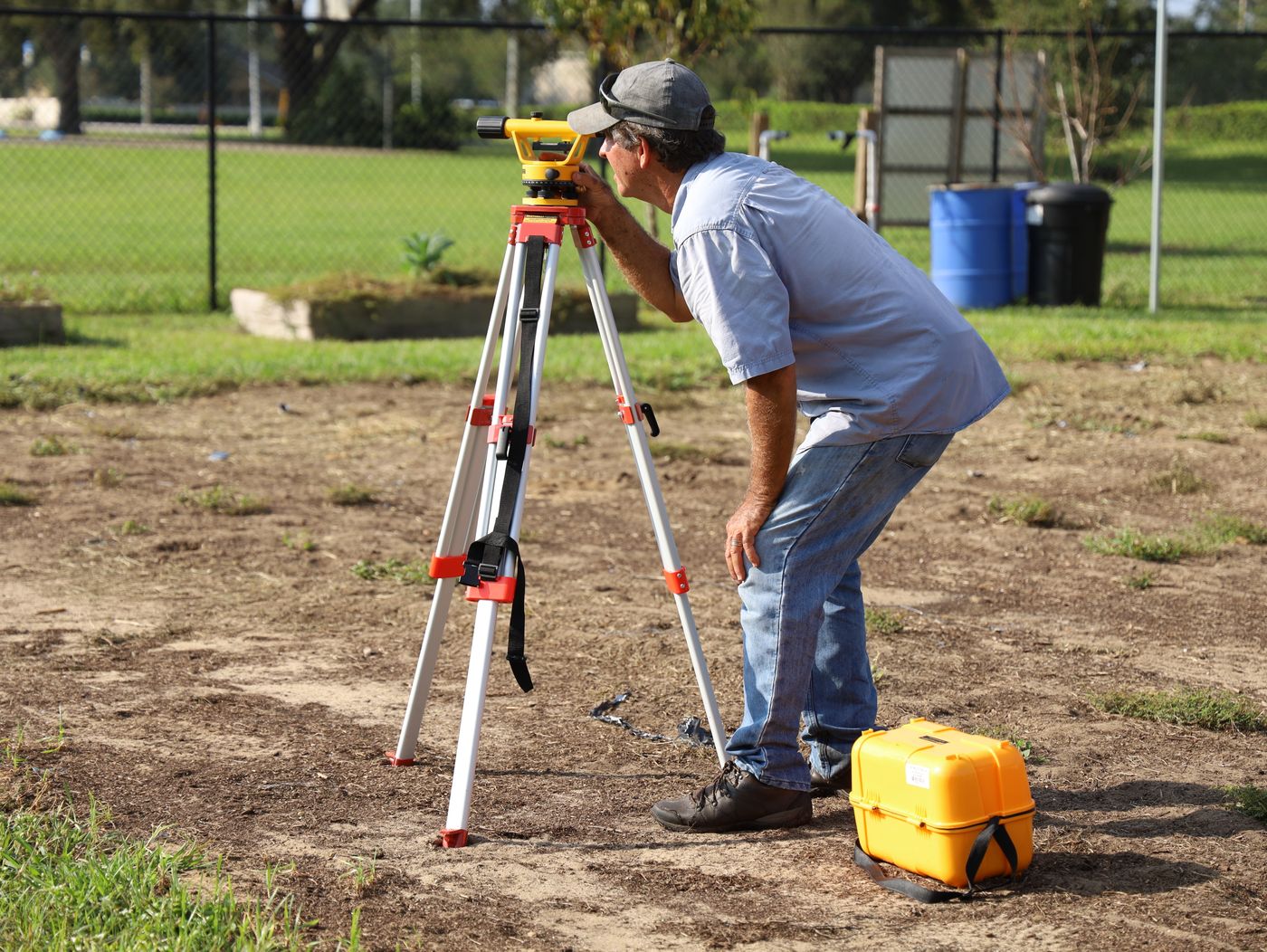
Scan Surveys produces measured building surveys across London and the UK, capturing existing conditions and translating them into clean, dependable drawings. We survey the building using laser scanning, then draw the plans, elevations and sections from that measured data rather than from tape measurements and assumptions. Because the drawings are produced from a point cloud, they are consistent from sheet to sheet and traceable back to the capture.
The output is designed to drop straight into your workflow: correctly scaled, layered CAD you can begin designing on immediately, with the option of a full 3D or BIM model if your project needs one.
What we capture and deliver
We record the building’s geometry to the level of detail your project requires, from a straightforward floor plan and elevation set through to a fully detailed survey including reflected ceiling plans, roof plans and cross sections. We produce drawings in line with recognised measured survey specifications so the scope, symbology and level of detail are clear and consistent.
Typical deliverables include:
- Floor plans showing walls, openings, structural elements, fixtures and room dimensions
- Elevations, internal and external, recording heights, features and openings
- Sections cut through the building to show floor-to-floor and floor-to-ceiling relationships
- Roof plans and reflected ceiling plans where required
- Site plans tying the building to its immediate surroundings
Drawings are delivered as DWG and DXF CAD files, correctly scaled and layered. Where a project calls for it, we also provide the underlying point cloud and a 3D or BIM model, both produced from the same survey.
When you need it
A measured building survey is the right starting point whenever you need to design against, extend or document an existing building:
- Refurbishment and remodelling, where accurate existing conditions govern the design
- Extensions and conversions, where new work has to meet old fabric precisely
- Planning and building control submissions that require existing-condition drawings
- Lease plans and space records for property and facilities management
- Feasibility and design development, where measured drawings replace guesswork
If the original drawings are missing, outdated, or you simply cannot trust them, a measured survey gives you a reliable base to design from.
Deliverables
- Scaled 2D CAD floor plans, elevations and sections in DWG and DXF
- Roof plans, reflected ceiling plans and site plans as required
- Consistent layering and symbology to a defined survey specification
- Point cloud from the underlying scan, on request
- Optional 3D or BIM model produced from the same capture
A survey you can plan around.
A clear, repeatable method on every job, so you know what is happening on site and what lands on your desk afterwards.
Scope
We agree the drawings you need, the level of detail, the scale and the CAD standard, so the survey is specified around your deliverables rather than a generic template.
Capture
We survey the building on site using laser scanning, recording internal and external geometry from enough positions to remove blind spots.
Process
We register and clean the scan data, then draw the plans, elevations and sections from the point cloud to the agreed specification.
Deliver
We issue correctly scaled, layered CAD files, with the point cloud or a 3D model alongside if your project requires them.
Questions we are asked about this service.
What is a measured building survey?
A measured building survey is an accurate, scaled record of an existing building’s dimensions and layout, produced as CAD drawings such as floor plans, elevations and sections. It gives architects and designers a reliable base drawing of what actually exists to design from.
What deliverables do I get from a measured building survey?
You typically receive scaled 2D CAD drawings: floor plans, internal and external elevations, and sections, with roof plans, reflected ceiling plans and site plans added where needed. These are supplied as DWG and DXF files, and we can also provide the point cloud or a 3D/BIM model produced from the same survey.
What is the difference between a measured building survey and a topographical survey?
A measured building survey records a building itself, its plans, elevations and sections. A topographical survey records the land and external site, including levels, contours, boundaries and features. Many projects need both, and because we capture from the same survey control they align with one another.
What scale and CAD format are the drawings delivered in?
Drawings are produced to the scale your project requires, commonly 1:50 or 1:100 for building plans, and delivered as layered DWG and DXF CAD files. We agree the scale, layering convention and level of detail with you before survey so the output fits your practice’s standards.
How accurate is a measured building survey?
Because we survey using laser scanning, the drawings are produced from measured data accurate to within a few millimetres on capture. The drawn output is then generalised to a sensible level of detail for the scale requested, so the plans remain both accurate and legible.
Can you produce a BIM model as well as 2D drawings?
Yes. The same survey underpins both. If you need a Revit model rather than, or in addition to, 2D CAD, we deliver that through our scan to BIM service without re-surveying the building.
One team, from point cloud to pull test.
3D laser scanning
Capture the whole structure to the millimetre and hand your designers a model they can build from.
See the service RevitScan to BIM
Turn a laser scan into an intelligent Revit model, scanned and modelled by one UK team.
See the service TOPOTopographical surveys
The land, the levels and the boundaries, measured precisely for planning, design and setting out.
See the serviceSend us the brief. We will scope it.
Tell us the site, the deadline and what you need to know. We will confirm the right survey or test, the standard it meets and exactly what you will receive.